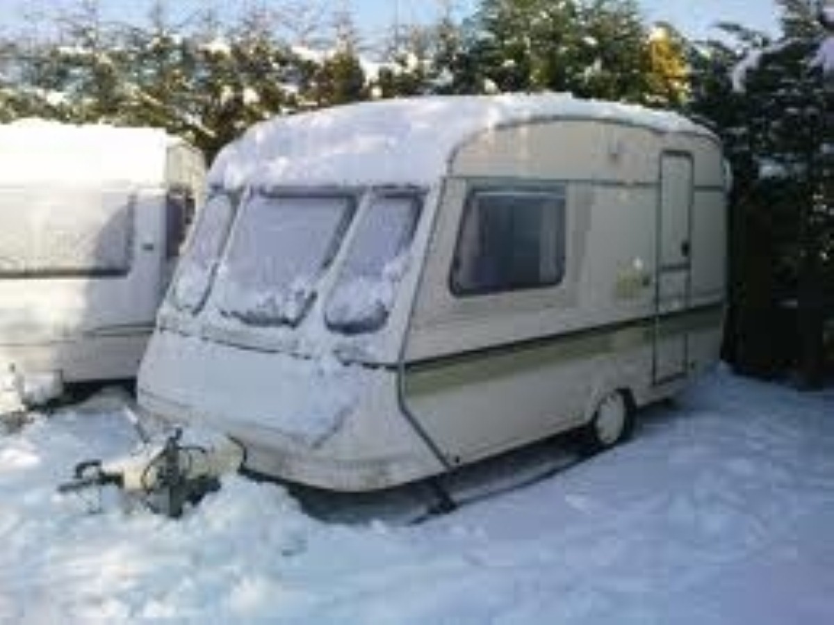
Affected areas to be hit by snow and gale
Winter has officially set in, and it looks like it has definitely brought its A-game. Following weather alerts in the North East yesterday reportedly by your favourite Caravan daily, several other areas have been issued warnings. The affected areas include the North West, Merseyside, the Irish Sea and the Isle of Man.
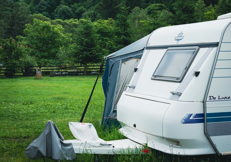
The Met Office has issued a yellow weather warning for Cheshire, East Midlands, West Midlands, South West England, Wales and Yorkshire among others, while the Highways Agency has advised high-risk vehicles such as caravans to stay off junction 12 of the M56 at Clifton in Runcorn. The Isle of Man Steam Packet Company has cancelled three sailings, and the Stena Line has cancelled a sailing from Belfast to Birkenhead. The Met Office has also issued amber warnings for Northern Ireland, Strathcylde, and the Highlands and Eilean Siar. A spokesperson for the Met Office commented on the severe weather, stating: “Gusts of 60-70mph can be expected within the warning area, with 70-80mph in western and northwestern exposures. The strongest winds will slowly ease on Thursday morning.”
This more than unpleasant spate of weather is being caused by a deep low pressure system moving eastwards between Scotland and Iceland. Strong winds, gale, wintry showers and even floods could affect some areas, so your travel plans might have to be put on hold, to say the least. The Highways Agency has stated: “Drivers are advised to plan for their journey before they set out, checking the forecast and road conditions and to leave extra time if travel conditions are poor, and to delay their journey if the weather becomes severe.”
Weather forecasts for specific areas are available at the Met Office, but it’s not all dark skies after all. It could get sunnier through the weekend, so you might just be on the open road again before you know it! Stay safe and warm folks!